Porongurup National Park
Porongurup National Park is a national park in the Great Southern region of Western Australia (Australia), 360 km southeast of Perth and 40 km from Albany. It protects the Porongurup Range, an extremely ancient and largely levelled mountain range formed in the Precambrian over 1200 million years ago. The present range is no more than fifteen km (10 miles) from east to west and consists of granite peaks levelled into domes. The highest point in the Porongurup Range is Devils Slide at 670 metres (2,200 ft) whilst there are several other peaks above 600 metres (1,970 ft), which is about 400 metres above the surrounding plain. Indeed, for much of the Cretaceous and Paleogene the Porongurup Range was an island surrounded by the sea, with the Stirling Range forming the southern coastline.
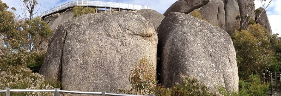
The 24-sq-km, 12km-long Porongurup National Park has 1100-million-year-old granite outcrops, panoramic views, beautiful scenery, large karri trees and some excellent bushwalks. Bushwalks range from the 100m Tree-in-the-Rock stroll to the harder Hayward and Nancy Peaks (5.5km loop). The Devil’s Slide (5km return) passes through karri forest to the stumpy vegetation of the granite. These walks start from the main day-use area (Bolganup Rd). Castle Rock Trail to Balancing Rock (3km return) starts further east, signposted off the Mt Barker–Porongurup Rd. The Castle Rock Granite Skywalk Trail (4.4km return, two hours) negotiates a steep and spectacular path up the rock. The final 200m ascent to the summit incorporates a steep rocky scramble and a vertical 7m ladder. Porongurup is also part of the Great Southern wine region and there are 11 wineries in the vicinity.


